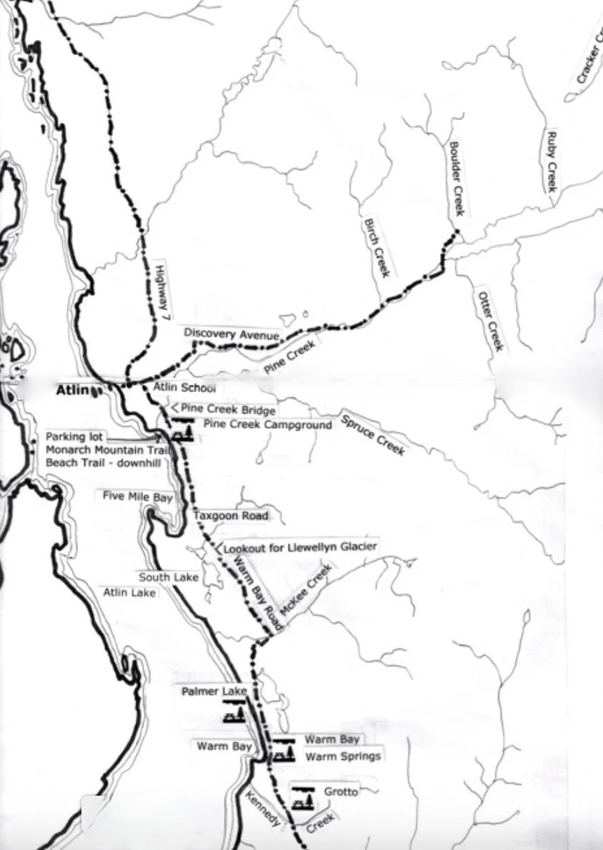
Travelogue: Driving Warm Bay Road
Distances are measured from the northern end of Warm Bay Road, situated at the intersection of Discovery Avenue, which is occasionally referred to as Surprise Lake Road. Street signs are scarce, and names of roads may vary. Google Earth lists Warm Bay Road as O'Donnell Road.
Keep in mind that the distances are approximate and are given in kilometers, with 1 km equal to 0.6 miles, making 50 km per hour equivalent to 30 miles per hour.
Atlin School is on the left – Kindergarten to Grade 12 offered.
Slow to 30 km (18 MPH) during school days from 8:30am to 5:00pm.
2.5 entrance to the Pine Creek Subdivision on left.
2.8 entrance at right to Gary Hill - guided fishing trips and taxidermy.
3.0 Slow to 20 km at Pine Creek Bridge.
3.1 Pine Creek Campground on right. Camping sites for tents and small RV’s; some pull-through sites on upper portion; some walk-in tent sites on the downhill portion overlooking Pine Creek. Picnic tables, outhouses, fire pits; some firewood available; no water (a drinking water spring is at km 4.8), no plumbing, no electricity, no telephone service. Fees are payable at any business in town. Please practice bear-safe, fire-safe, no-trace camping techniques. In general, campground is user-maintained. Volunteers from the Atlin Board of Trade maintain the campground once a week. Many supplies and equipment are donated. If you’d keep your own site and the public areas clean, it would be much appreciated. If you'd leave it cleaner than you found it, we'd love yah!
At 4.0 km, Monarch Mountain Road is on the left (unmarked), leading uphill.
At 4.3 km, there is a Parking lot on the right for Monarch Mountain Trail (uphill to the left) and Pine Creek Beach (downhill to the right).
At 4.8 km, You’ll find a drinking water spring.
At 5.0 km, Slow down to 20 km at Suicide Hill and gravel pit. Stay right.
At 9.2 km, you’ll find Taxgoon Road – which serves at the entrance to Five Mile Reserve.
At 12.2 km, keep an eye out for Llewellyn Glacier.
At 12.4 km, Sidka Tours will be uphill and to the left.
From 13.2 to 16.3 km, Slow down; the road is winding with steep grades up and down. Stay to the right to avoid potential collisions around blind curves.
At 16.3 km, you’ll find McKee Creek. This was the site of hydraulic gold mining until the 1970s. Note the erosion of the banks.
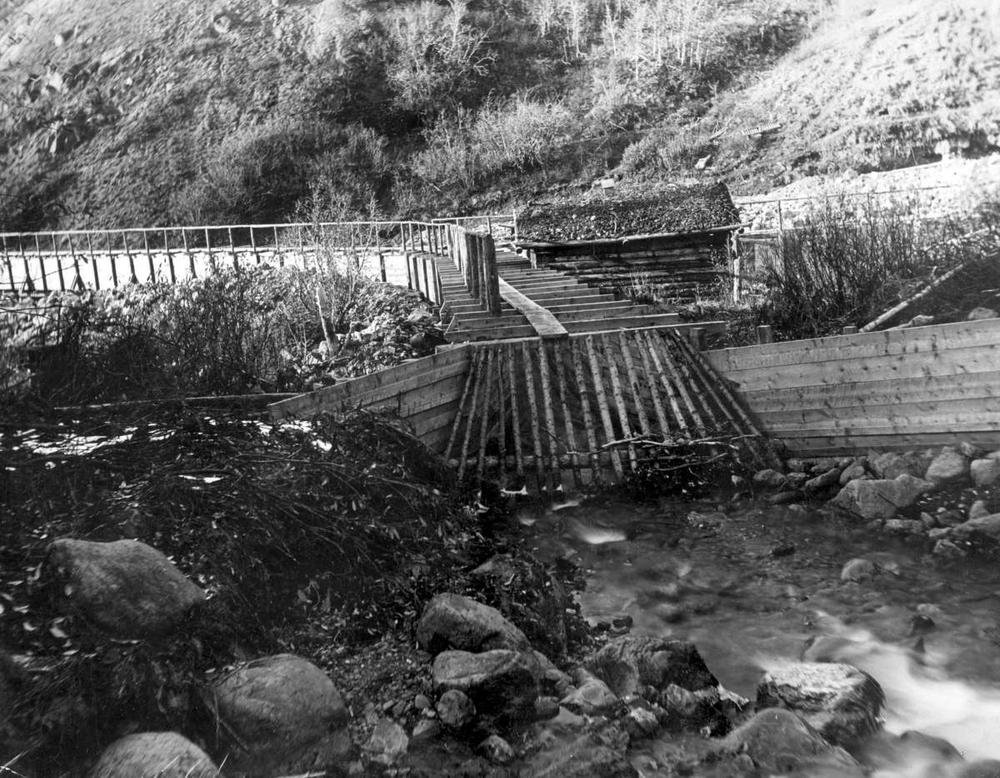
McKee Creek mining operations were active throughout the first half of the 1900’s
At 20.0 km, you’ll find a Palmer Lake sign for BC Forest Service – this is a small area for overnight camping. It is user-maintained and suitable for pike fishing, swimming, and wildlife viewing. Canoes and kayaks are ideal here
At 23.3 km is the Warm Bay sign for BC Forest Service. This is a lakeside area for overnight camping. It is user-maintained, good for wildlife viewing but too cold for swimming. Ideal for canoes and kayaks along the shore. Note: Warm Bay is aptly named because the outflow from the Warm Springs slightly raises the temperature, theoretically.
At 24.0 km, Warm Springs on the right is privately owned by the Taku River Tlingit First Nation. Please respect their privacy.
At 24.3 km, the Warm Springs entrance is on the left. It is privately owned by the Taku River Tlingit First Nation. It is not a campsite. (Warm Bay and Grotto campsites are nearby). Observe signs to know if you are welcome to be there. Treat the Warm Springs pool with respect. Use the provided outhouses. The pool is not for bathing – no soaps or shampoos, please! Soaps can cause algae buildup and water contamination. Use at your own risk. Many of the plants are used for the First Nation as medicines. Please don’t disturb.
At 27.1 km, you’ll see the Grotto sign for BC Forest Service. This is for overnight camping, and is user-maintained.